Saildrone Surveyor, World’s Largest Uncrewed Ocean Mapping Vessel, Maps Aleutian Arc Seafloor
The Saildrone Surveyor (Saildrone), the world’s largest uncrewed ocean mapping uncrewed surface vessel (USV), has mapped more than 45,000 square kilometers (17,375 square miles) of previously unexplored ocean floor during a months-long survey around Alaska’s Aleutian Islands and off the coast of California as part of a multi-agency public-private partnership funded by the National Oceanic and Atmospheric Administration (NOAA) and the Bureau of Ocean Energy Management (BOEM), to address ocean exploration gaps in remote areas with USVs. The United States Exclusive Economic Zone (EEZ), stretching from the coast to 200 nautical miles from shore, is one of the largest in the world, but it is largely still unmapped, unobserved, and unexplored.
Alaska’s coastline is approximately one-third of the entire US coastline, far longer than that of any other US state or territory. And yet, Alaska is by far the least mapped region of the US EEZ. Mission collaborators were able to follow the data collection in real time. Preliminary data revealed unprecedented detail of the Aleutian arc seafloor, including previously unknown structures, some of which indicate potential hydrothermal vents.
In 2022, the White House released the Strategic Priorities Report for Ocean Exploration and Characterization report, which specifically calls out the Aleutian chain as one of the highest priority regions in the US EEZ for collecting additional data and information in multidisciplinary interests across the Federal space. Exploration and seafloor mapping of this region has the potential to unlock new opportunities for conservation, climate science, and the Blue Economy
Saildrone Specifications
-Hull length: 7 m
-Wing height: 4.6 m above water line
-Average speed: 2-3 knots
-Top speed: 8+ knots
-Payload: 20 science-graded sensors
-Max Payload Weight: 100kg
Captions
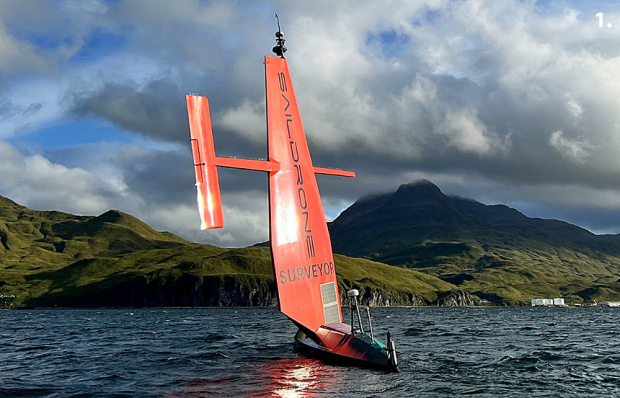
1. Saildrone Surveyor.
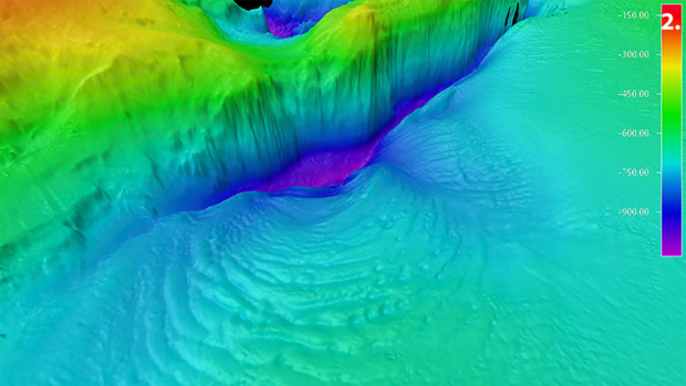
2. Amukta Canyon in the Bering Sea, as mapped by the Saildrone Surveyor during the Aleutians Uncrewed Ocean Exploration expedition.
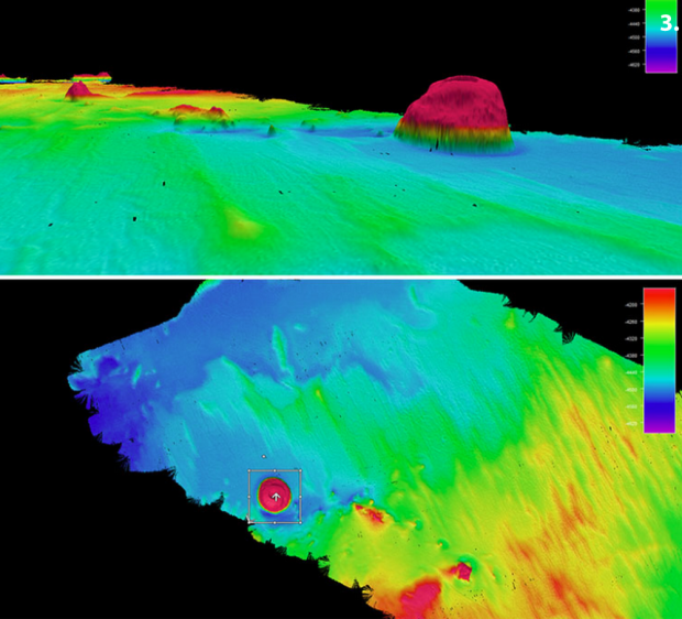
3. Top and side views of the 1,000 m seamount mapped by Surveyor SD 1200.
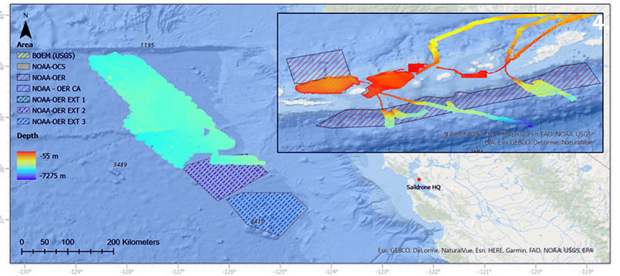
4. The total area mapped by Saildrone off around the Aleutian Islands and off the coast of CA.
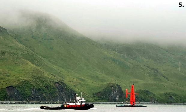
5. Saildrone Surveyor SD 1200 is escorted out of Dutch Harbor in August 2022.
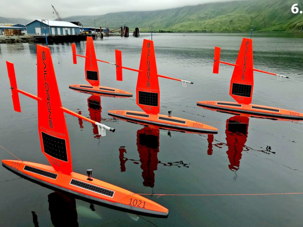
6. Saildrones awaiting deployment.
Images via Wevolver.com and courtesy of Saildrone. Read more at https://oceanexplorer.noaa.gov and watch related videos on the Saildrone YouTube channel.
Our thanks to Thanks to CDR David Place (USN/Ret), davidplace47[at]gmail[dot]com, for his assistance with this report, which is a pre-release excerpt from the next edition of the UNMANNED SYSTEMS NEWS (USN). Thanks, also, to CAPT Julio Guiterrez (USN/Ret) for sharing this information
David Place distributes the USN, a free, comprehensive newsletter in PDF format every week or two, as well as serial news flashes. To be included in his distribution, simply send David a subscribe request to davidplace47[at]gmail[dot]com.